
Volume:
Motorcycling
| |
© 2000-2010
John B. Deitz
Build: 100521.2
![]()
![]()
![]()
![]()
![]()
![]()
![]()
![]()
![]()
![]()
![]()
![]()
![]()
![]()
![]()
![]()
![]()
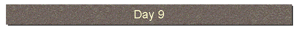
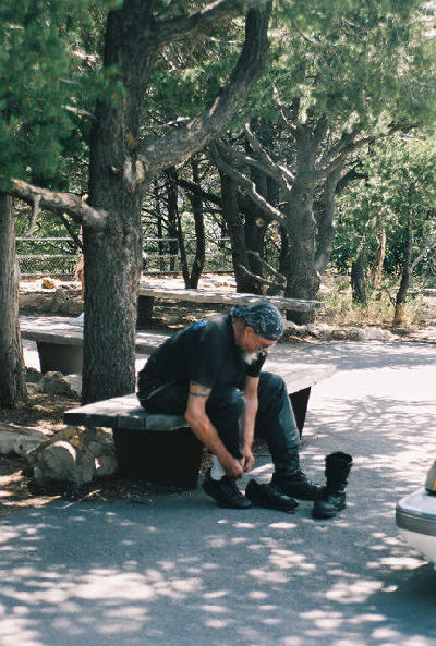
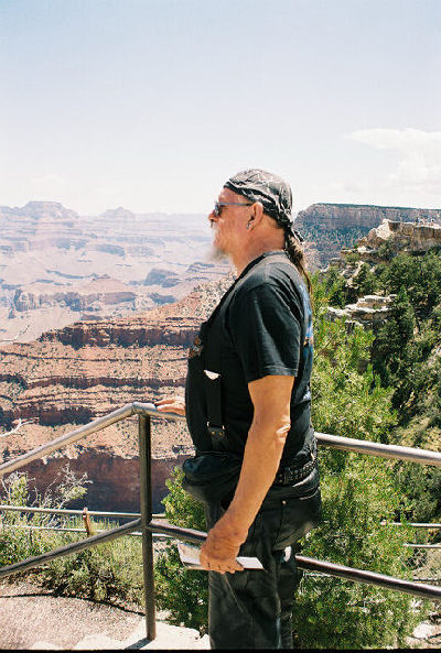
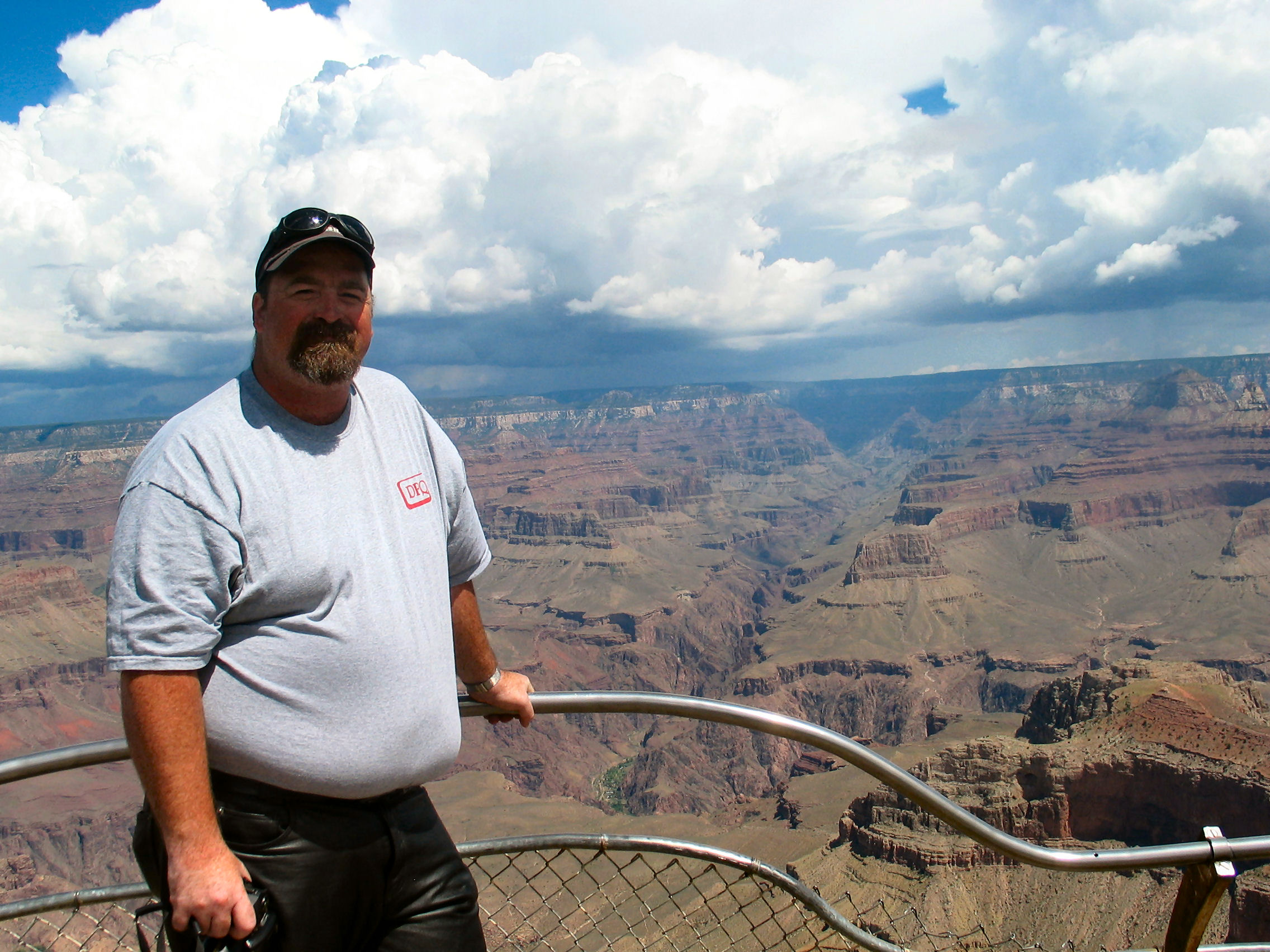
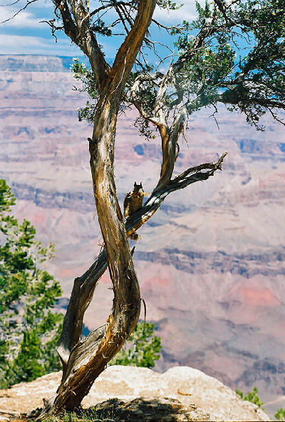
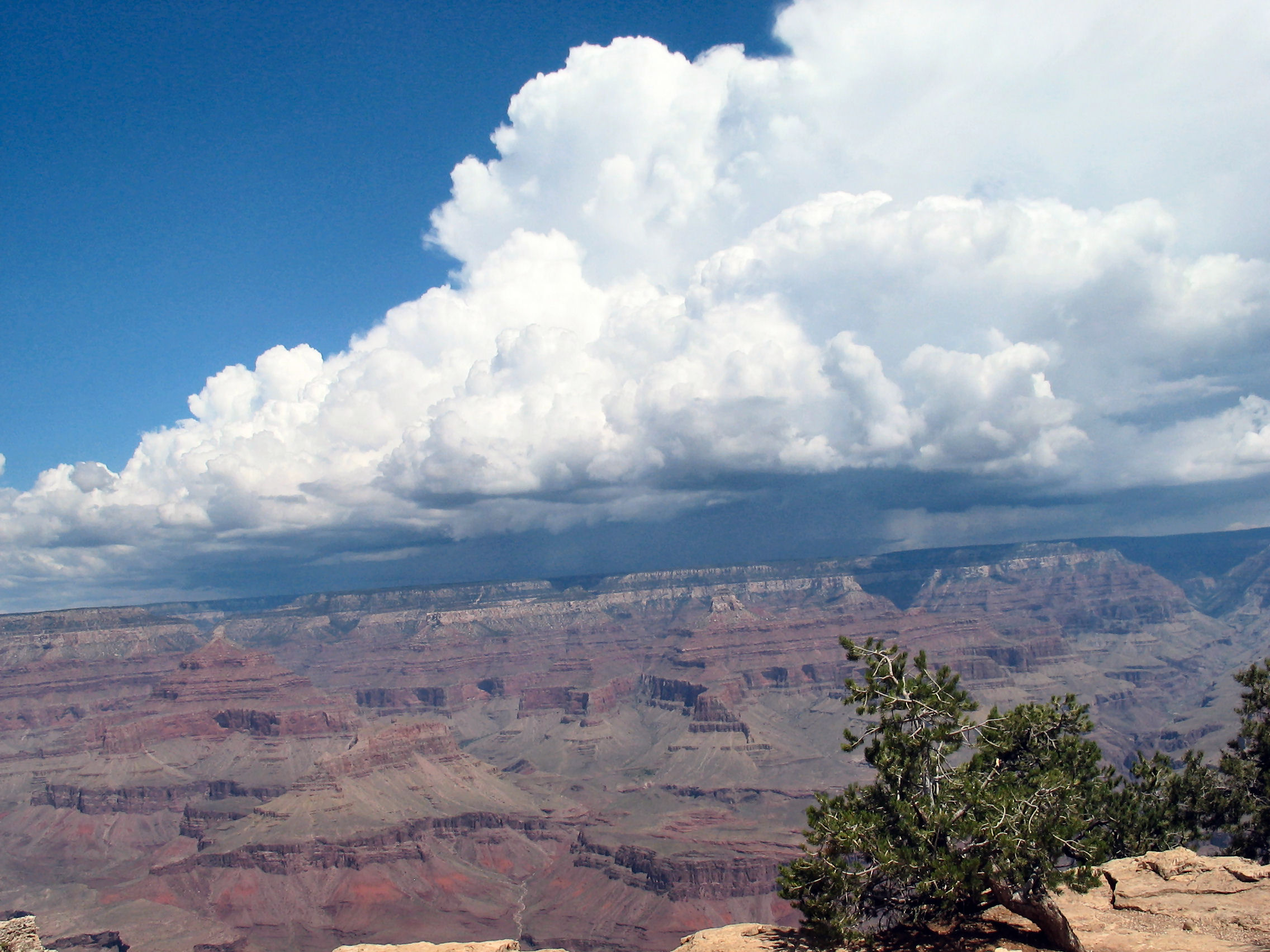
Saturday, 6 August 2005. Grand CanyonWe left for the Grand Canyon about 9 am taking Route US180 north. A very nice ride up to the canyon, reaching an elevation of 8046 ft., mostly through the Coconino and Kaibab National Forests and the smell of aromatic Ponderosa pine. To the right (east) was the 12,600 ft Humphreys Peak (the highest point in Arizona), part of San Francisco Mountain. Then on to the high Colorado Plateau of northern Arizona. There was considerable backup of traffic at this south entrance to the Grand Canyon National Park. The entrance fee was $10. I suspect that normally there is less traffic at the east entrance which was our exit route. Canyon magnificent —. exceeding my
expectations. Mike warned me that pictures would not tell the story,
and he was right. As with most visitors who enter the park from the south
entrance, we parked at Mather Point. We then hiked along the rim
trail for about 3 miles to Grand
Canyon Village.
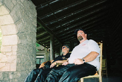
After resting for a bit on the porch of the historic
El Tovar Hotel, Mike said he knew a short cut back to the bikes.
I don't know why I believed him — we could
have just retraced our tracks — but a death
march later
we finally found ourselves back at Mather Point! Mike claimed he always knew where we were and that
I exaggerate. And to give Mike credit, when I looked at a Park map
later the route he seems to have taken back was certainly no longer, and
probably shorter than the rim trail.
|
||||||||||||
| Distance: About 190 miles | ||||||||||||
|
|
||||||||||||


23 October 2007