
Volume:
Motorcycling
| |
© 2000-2010
John B. Deitz
Build: 100521.2
![]()

![]()
![]()
![]()
![]()
![]()
![]()
![]()
![]()
![]()
![]()
![]()
![]()
![]()
![]()
![]()
![]()
Friday, 5 August 2005. Albuquerque, NM to Flagstaff, ArizonaWe left for Flagstaff about 8:30 a.m., continuing on I-40. Weather was quite cool, and at the first rest stop west of Albuquerque, Mike put on a jacket, and I a sweatshirt. It remained pleasant for the entire ride.
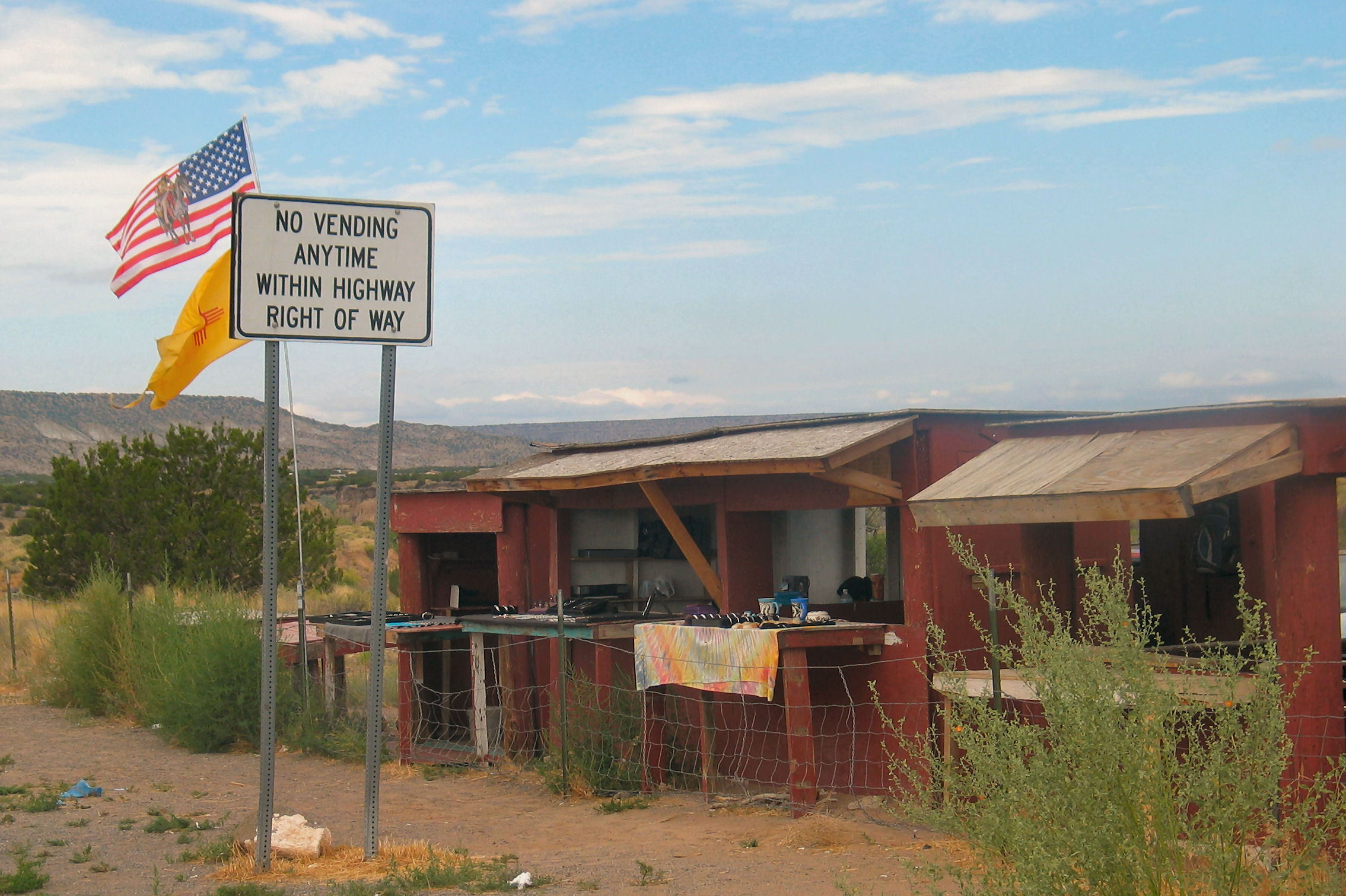
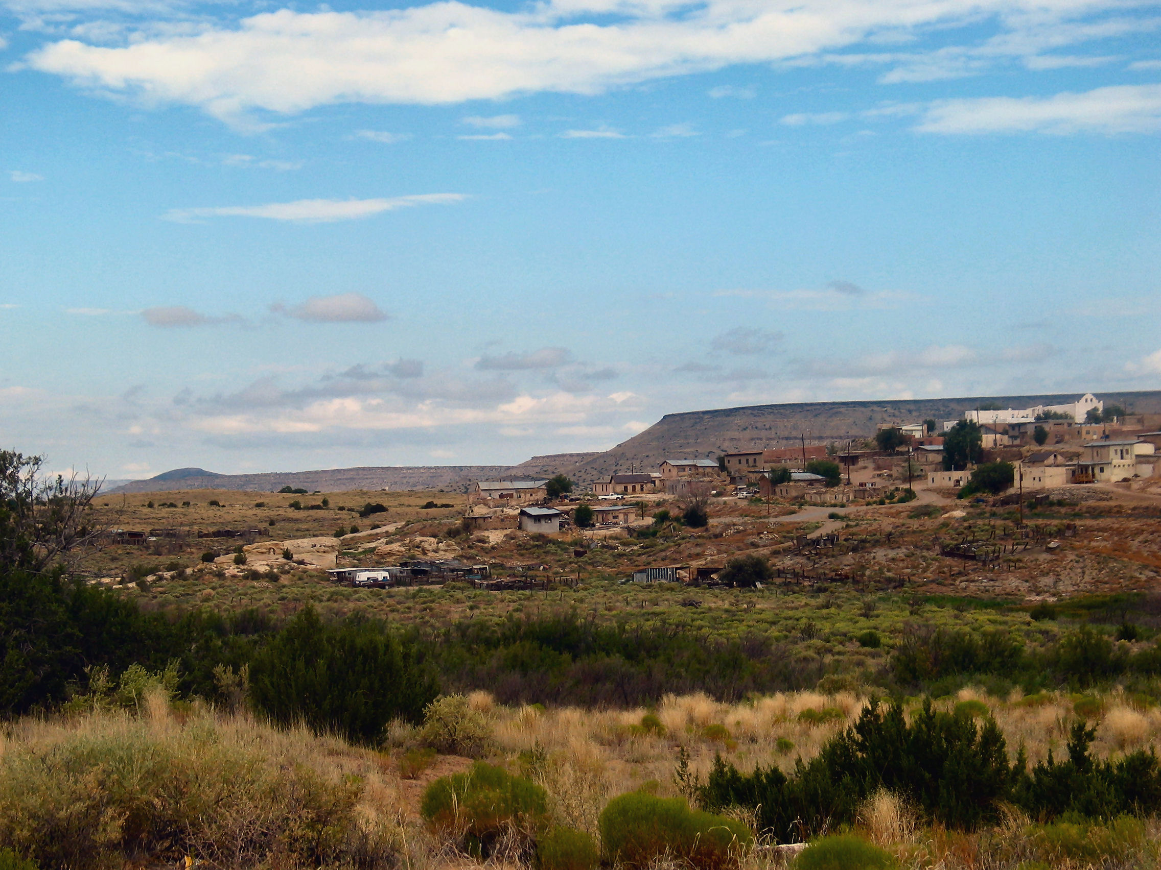
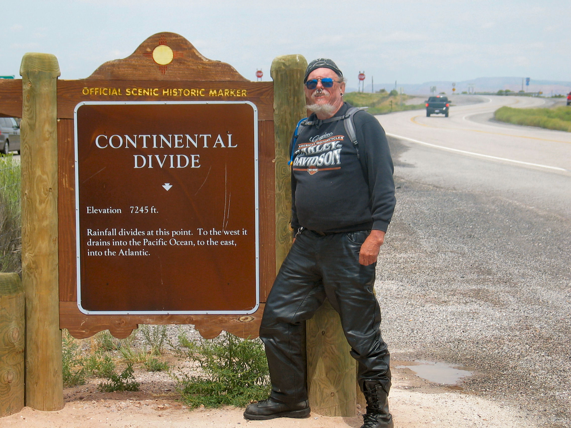
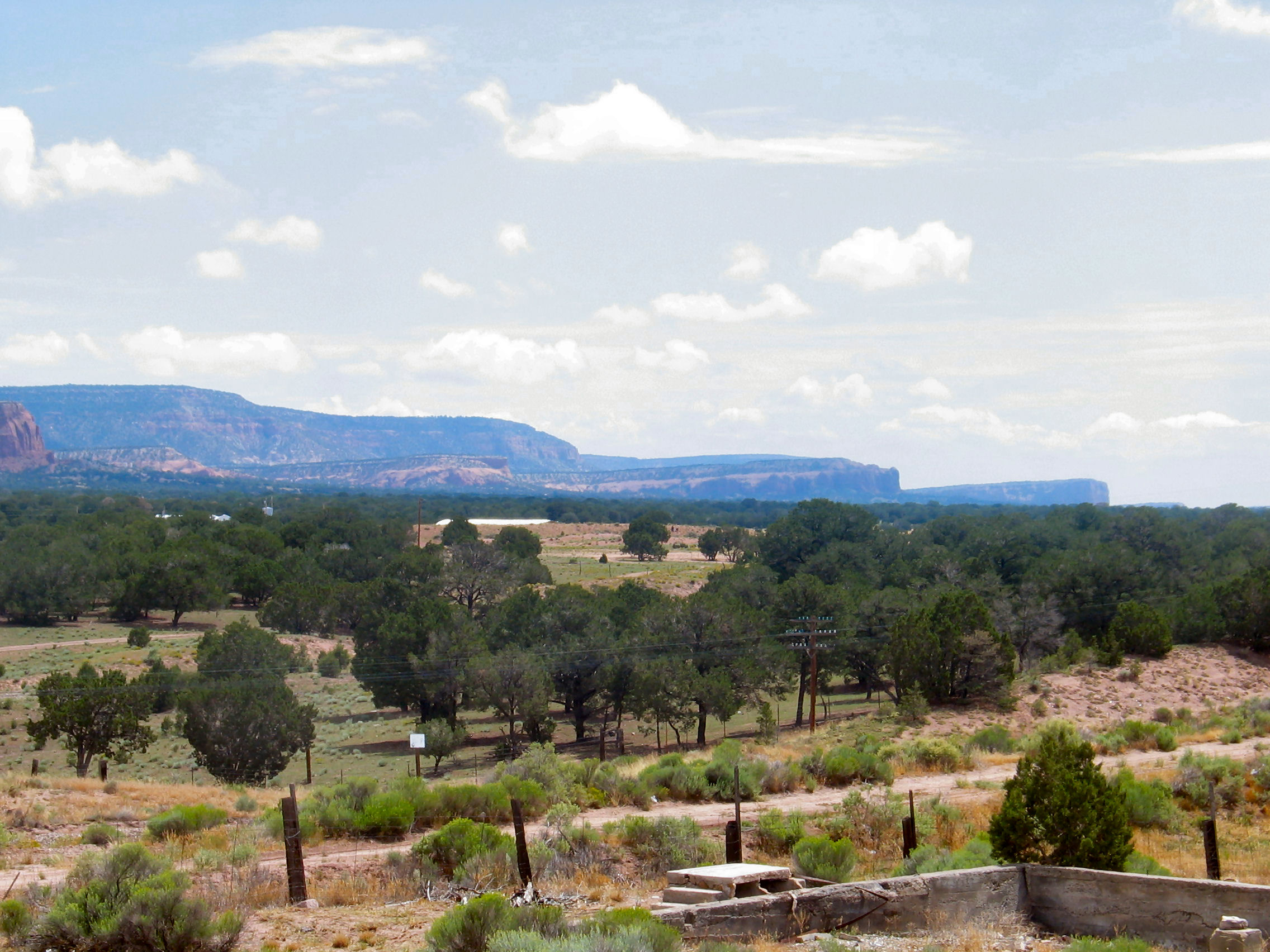
Both in western New Mexico and Arizona, we passed through or skirted many native American reservations and Pueblos, most of which were Navajo, but there were also Apache and Ute. The Navajo Nation is by far the largest, and extends into the states of Utah , Arizona and New Mexico, covering over 27,000 square miles. Diné Bikéyah, or Navajoland, is larger than 10 of the 50 states in America. About 45 miles east of the Arizona border is the Continental Divide on I-40. The Arizona desert seemed very different to me from that in New Mexico. The New Mexico route had many red rock outcroppings. Arizona was flat, with the mountains sometimes visible only in the far distance. It wasn't until we get near Flagstaff, that we get to forested high country. We dodged a few showers just outside Flagstaff, but John's amazing navigation and his ability to twist the road to his liking, caused us to experience only a few sprinkles as we weaved through the lightning and rain clouds. (Mike was to display similar skills the next day on the return trip to Flagstaff from the Grand Canyon.) There was a fairly heavy shower, though, after we checked into the hotel. Today's scheduled was a "short day" as I expected high temperatures. Glad we were wrong. Flagstaff itself is at an elevation of about 7000 feet, and sits at the base of the San Francisco Peaks, a 12,633-foot-high dormant volcano. It is surrounded by the Coconino National Forest With time change, we got to Flagstaff about 3:30 p.m. (Arizona stays on Mountain Standard Time, so actual time is Pacific Daylight Savings Time.) Arizonians make a big deal about their consistency — I don't get why it makes much difference. After resting for a bit, we decided to check out Flagstaff and environs. Flagstaff is on the old Route 66, and Michael took the old route west out into the country and forested area. He kept stopping in the middle of the road claiming to have seen some animal or other. I never saw anything. On the recommendation of the motel clerk, we had dinner that night at "Black Barts Steakhouse Saloon & Musical Revue." It's kind of an odd place associated with an RV park. The waiters periodically break into adequate (but not great) musical numbers (they are apparently students at the local Northern Arizona University). Service is a bit slow (what with all that singing and stomping), food o.k., and prices touristy but not exorbitant. The BNSF (Burlington Northern Sante Fe) Railroad runs through the center of town. I had the impression they were running the line close to it's maximum. During a one-hour period, I observed trains passing through about every ten minutes, both east and west. The BNSF line parallels I-40, and there were locations along the line where two and three trains were stopped in a bunch — I suppose waiting for clearance through one bottle-neck or another (although it seemed to me that most of the right-of-way was double tracked.) |
||||||
| Distance: About 323 miles | Accommodation: Econolodge (shaky WiFi) | Cost: $159.58 (2 nights) | ||||
|
|
||||||
23 October 2007