
Volume:
Motorcycling
| |
© 2000-2010
John B. Deitz
Build: 100521.2
![]()

![]()
![]()
![]()
![]()
![]()
![]()
![]()
![]()
![]()
![]()
![]()
![]()
![]()
![]()
![]()
![]()
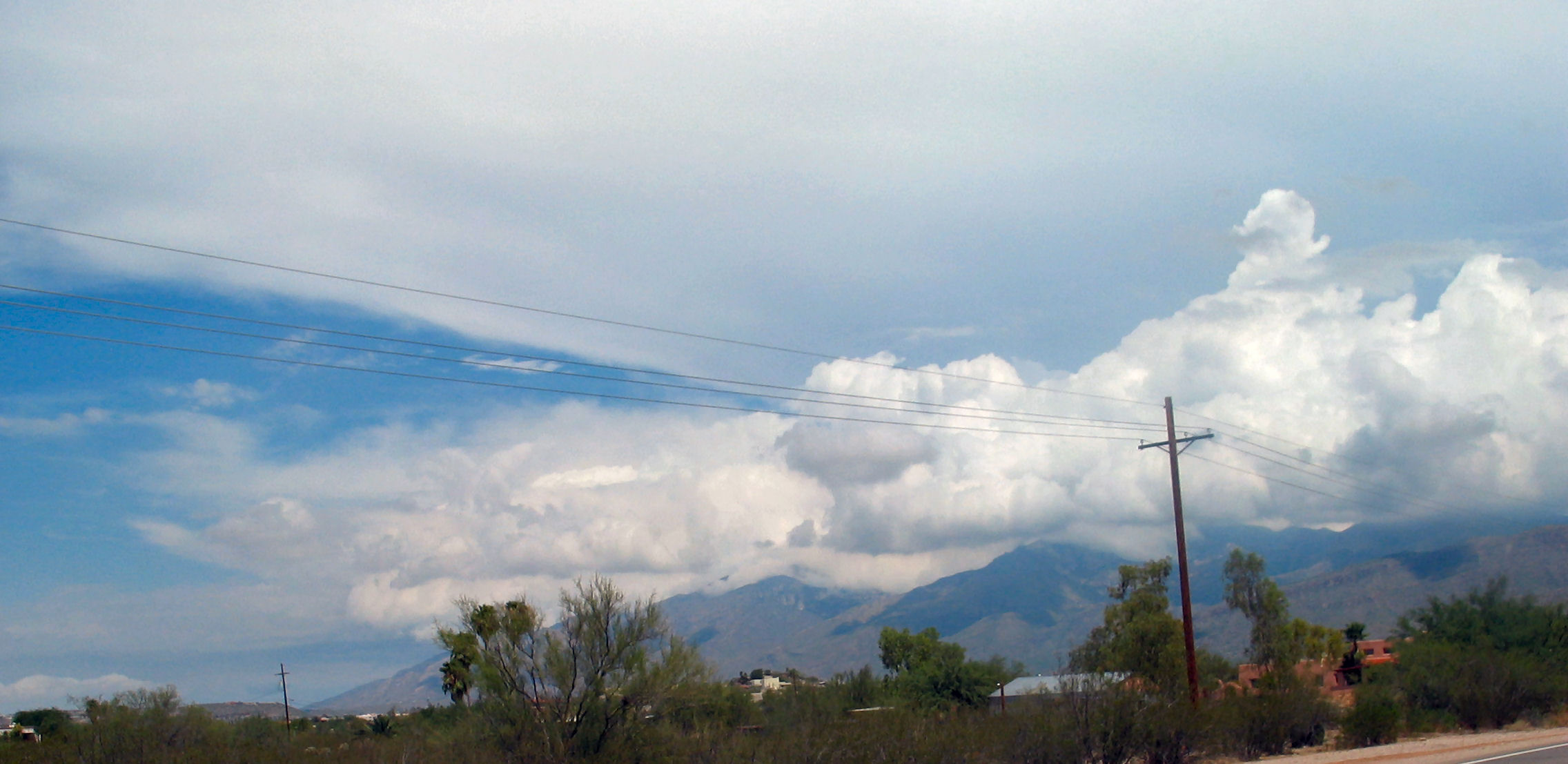
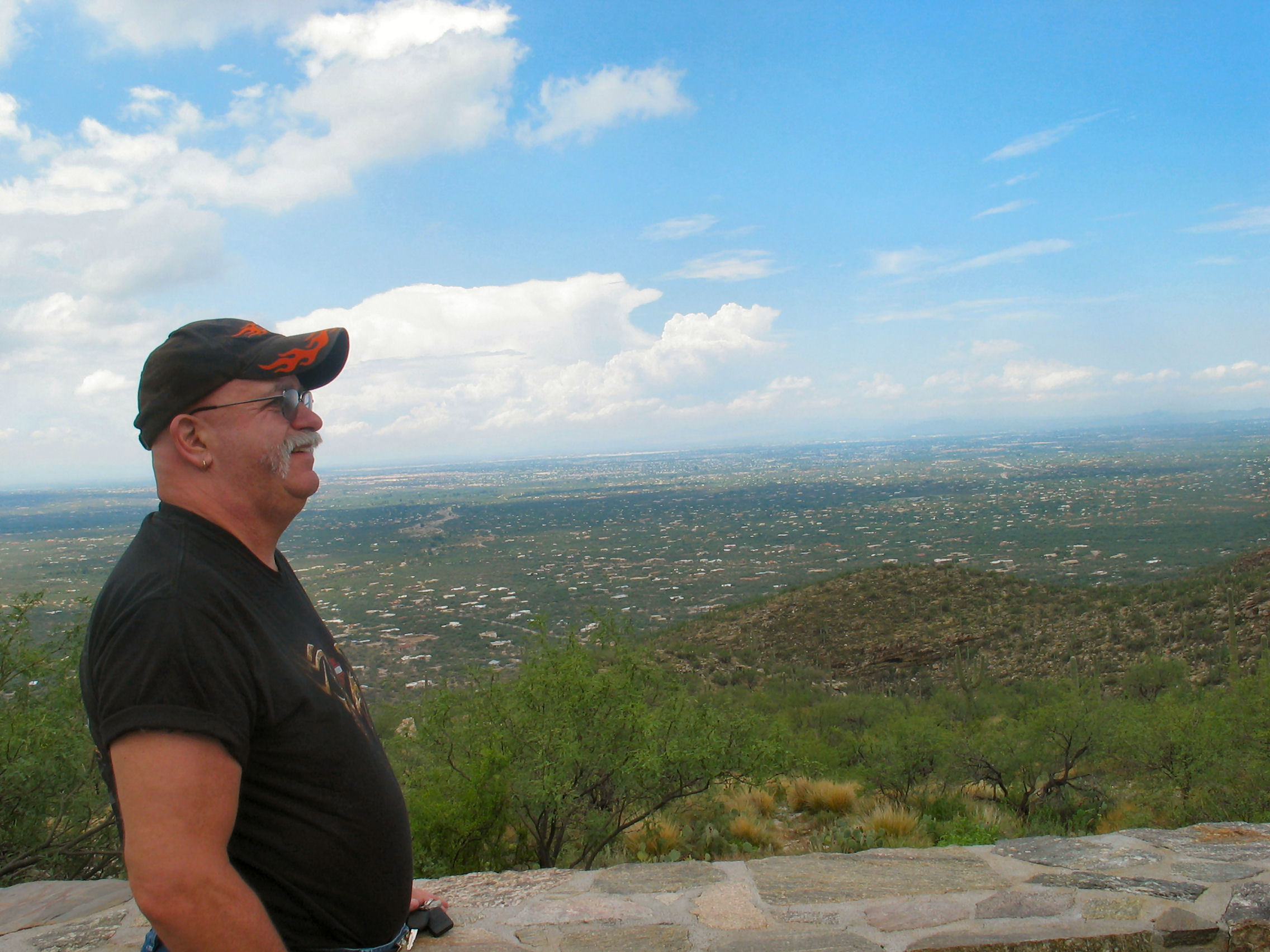
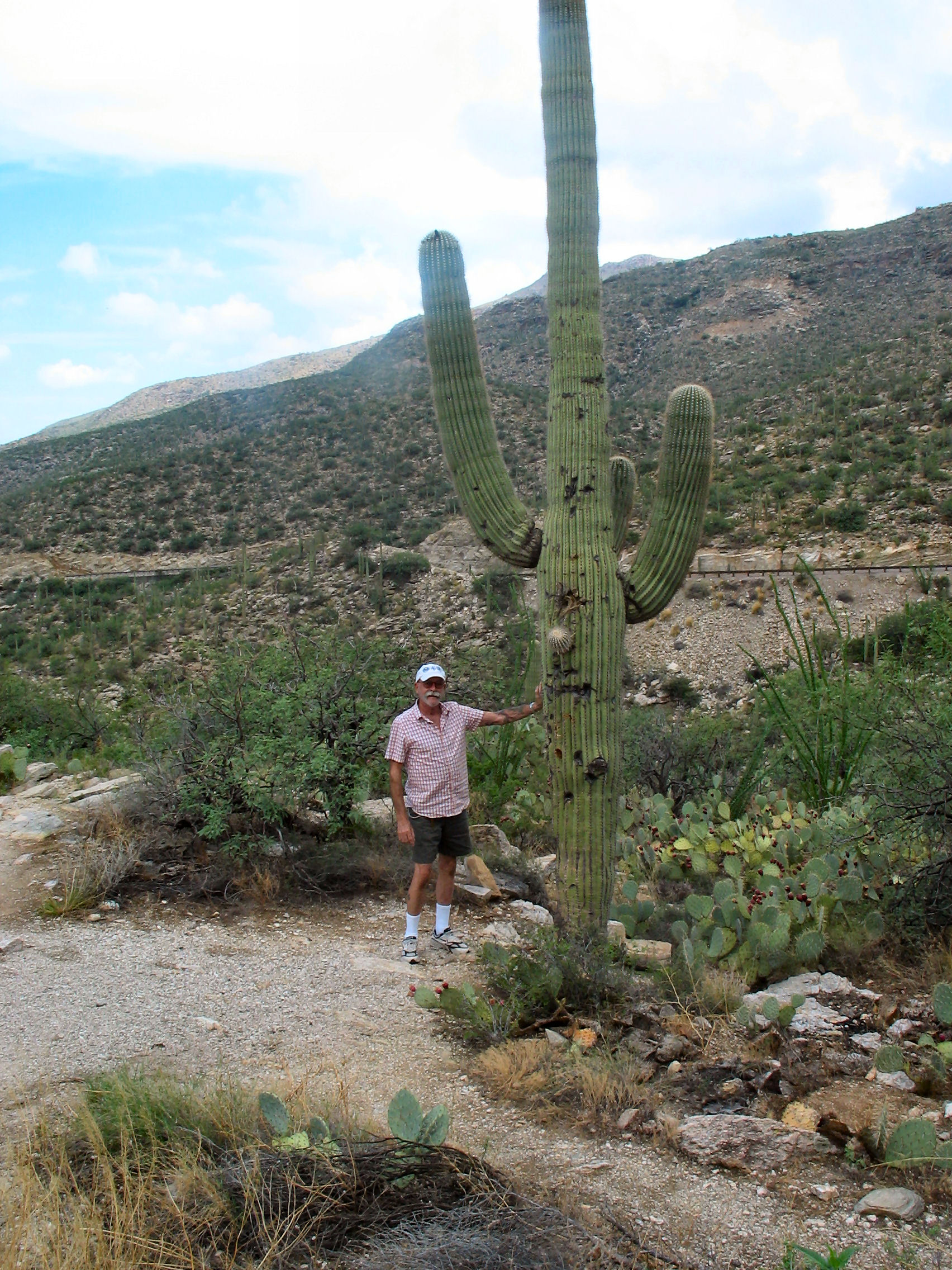
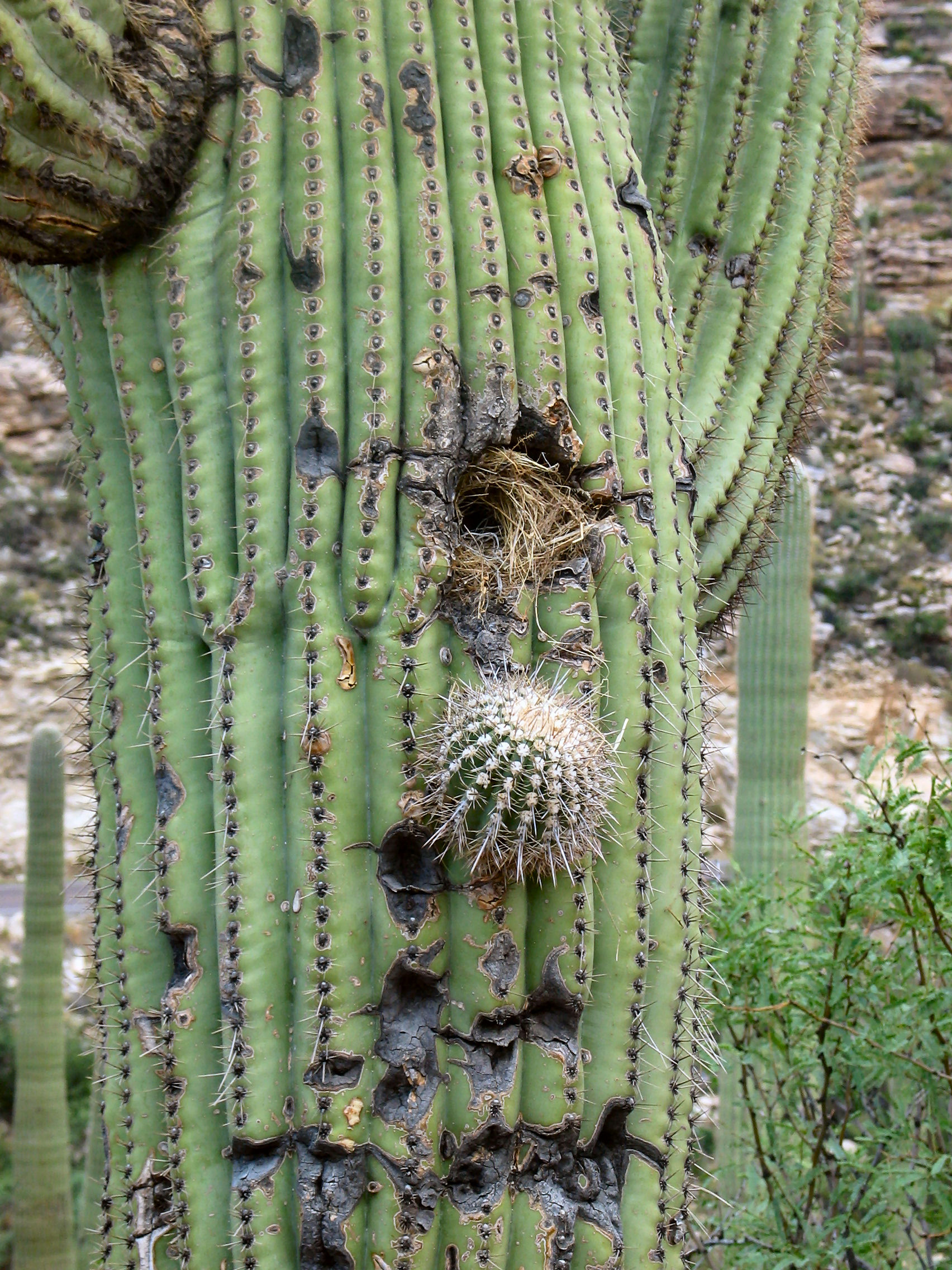
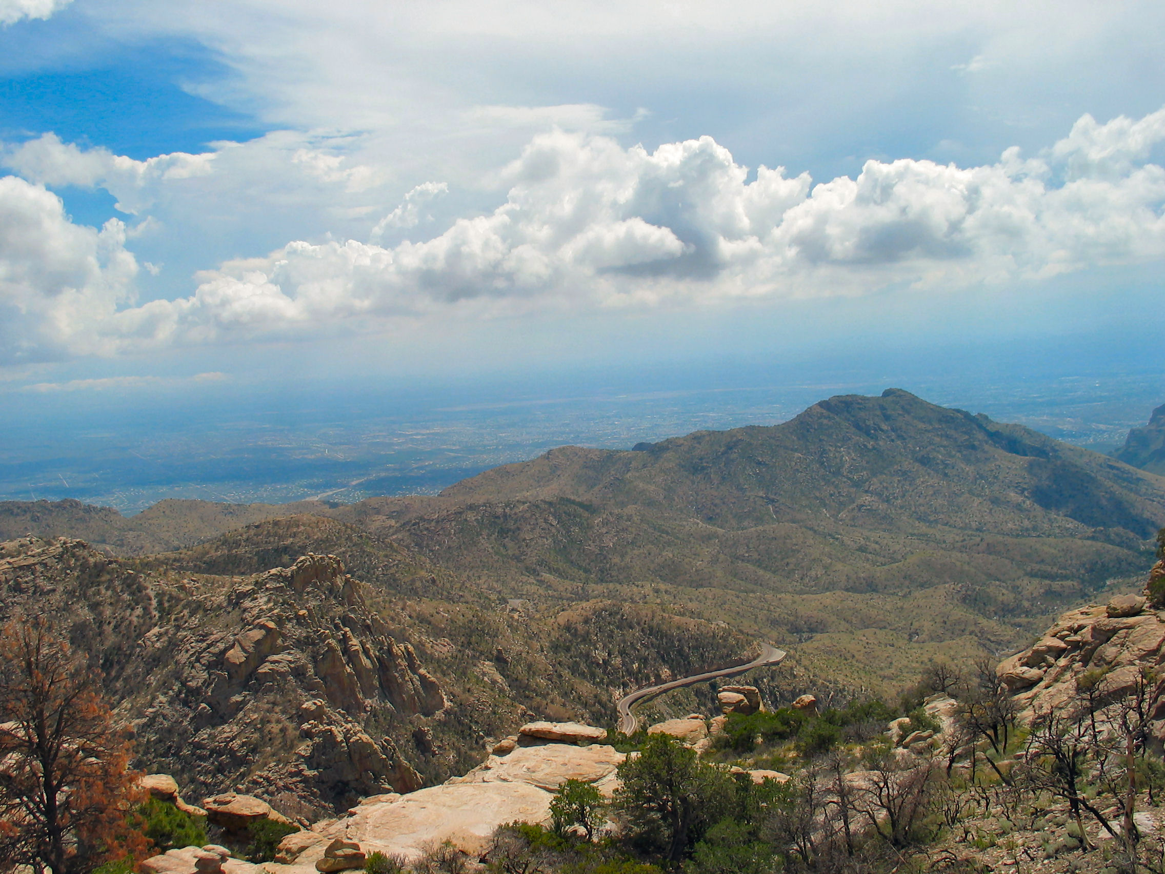
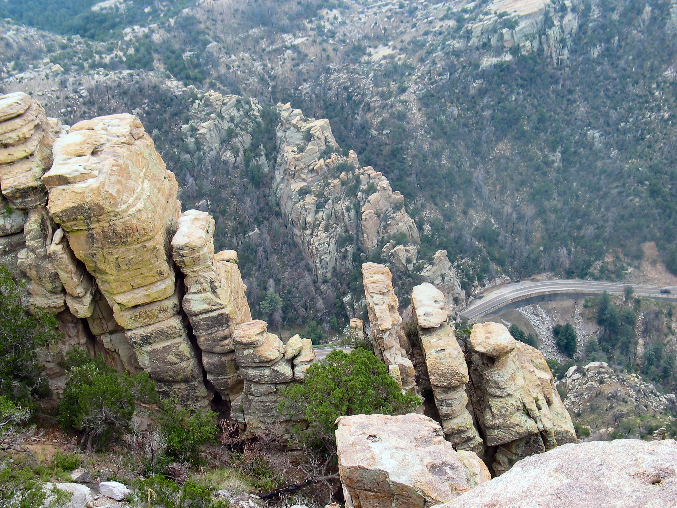
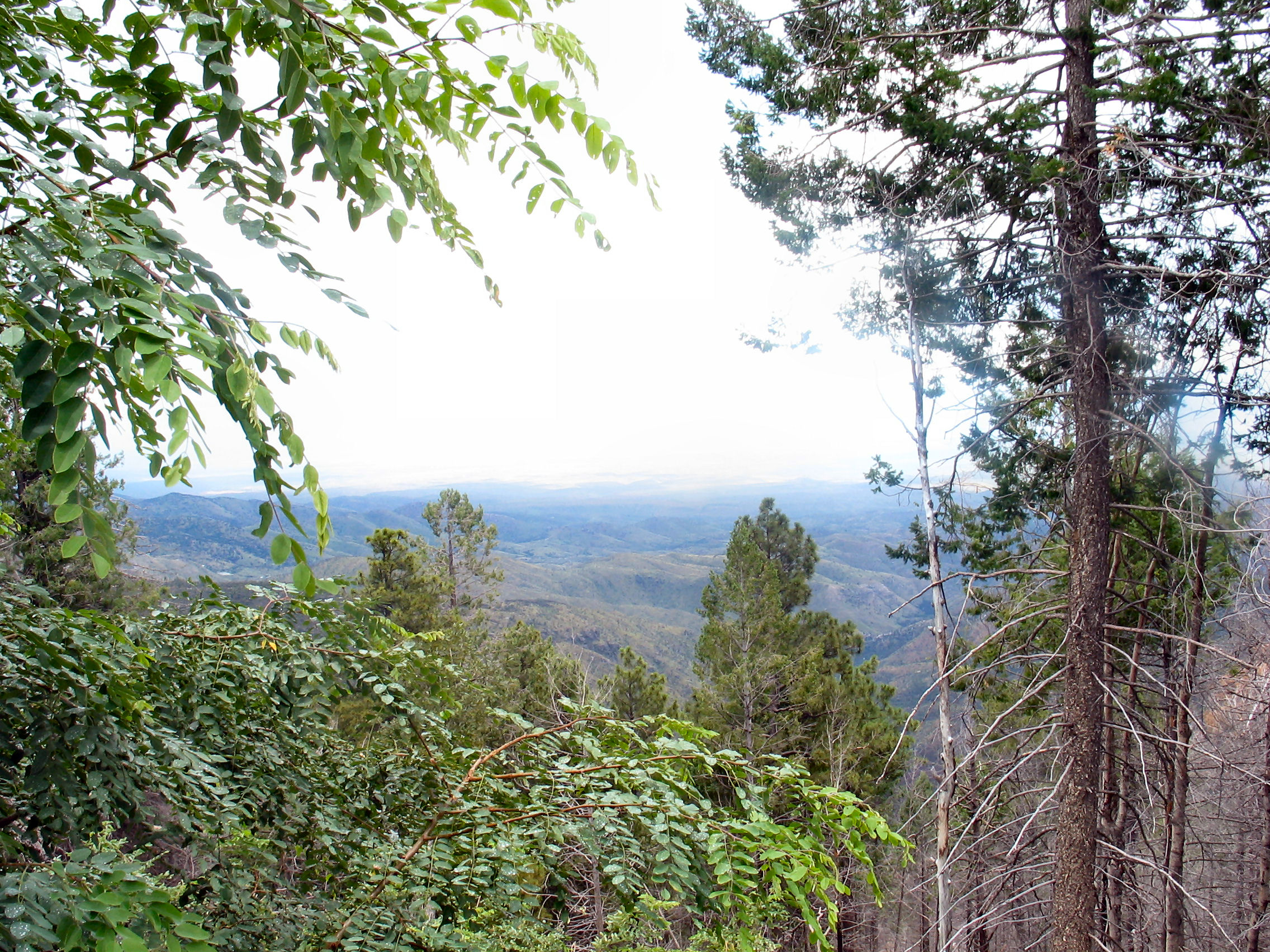
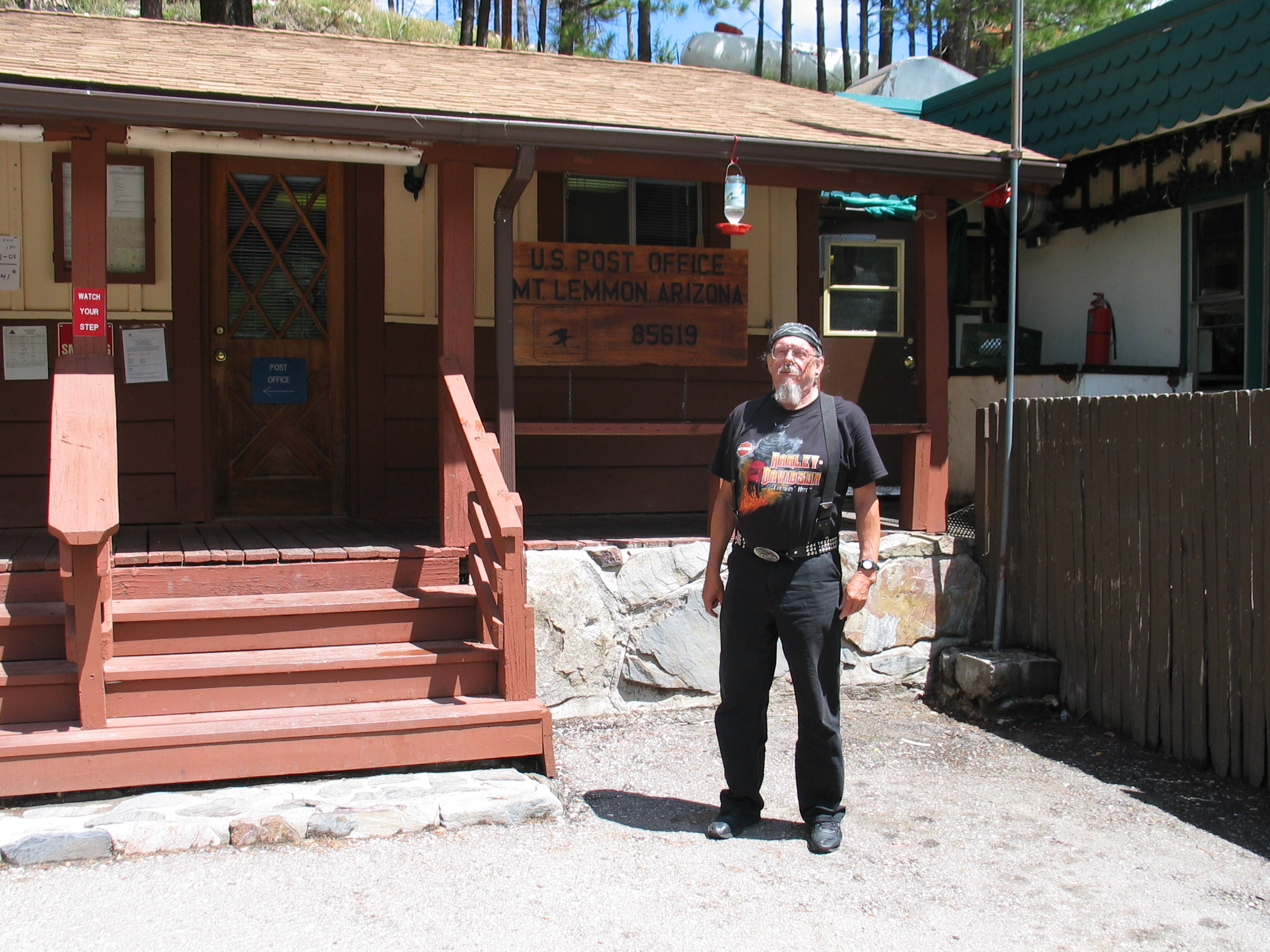
Monday, 8 August 2005. Mt. LemmonFirst thing in the morning I took the Road King to Harley Davidson of Tucson for an oil change. Ron led the way, which was fortunate. The storms of the night before had closed some roads . In many places, bridges are not built over dry riverbeds and streams (called washes), so that when a heavy rain does occur, water flows over the road and may close it for a day or so. Ron knew alternate routes. Although I had originally planned to just wait for the bike, decided to leave it there. When I picked it up later that afternoon, they charged $100 — for an oil change? I bought the mandatory t-shirt though. Ron and Hal then took us to the top of Mt. Lemmon in the Santa Catalina Mountains on the northern outskirts of Tucson. The ride up started misty with low lying clouds which we thought might make the vistas less viewable. But it did clear somewhat as we were going up, and by the time we came down it was mostly fine. Ron cooked another great meal -- roast beef -- and we watched Shirley Valentine. Ron and Hal's movie collection is impressive!
|
||||||||||||
| Distance: No riding miles. | Accommodation: Ron and Hal (WiFi) | |||||||||||
|
|
||||||||||||
23 October 2007