Volume:
Motorcycling
| |
© 2000-2010
John B. Deitz
Build: 100521.2
![]()


![]() Flag: Prince Edward Island
Flag: Prince Edward Island
 Flag: New Brunswick
![]()
 UNDER
CONSTRUCTION: If this were a commercial site, I wouldn't publish until
complete. But since I'm learning, I upload incomplete pages to make sure
I've got it right.
UNDER
CONSTRUCTION: If this were a commercial site, I wouldn't publish until
complete. But since I'm learning, I upload incomplete pages to make sure
I've got it right.
10/23/2007
Day 9 - Friday, August 25, 2000
![]()
Day 10 - Saturday, August 26, 2000
![]()
Day 11 - Sunday, August 27, 2000
|
At the northern end of US Route 1 in Fort Kent, ME
|
Since I've now been to both the northern and southern ends of US 1, my life goals are fulfilled! Is it possible that there can be any further purpose for my life? |
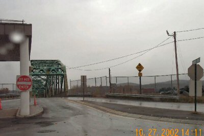
This is the border crossing to Canada. The road
here is apparently not actually US Route 1, which technically
ends a couple of hundred feet to the right. |
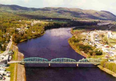 This is the Clair, NB to Fort Kent, ME bridge. I believe Fort Kent is to the right. The river is the St. John, which forms much of the northeastern and eastern border of Maine with New Brunswick. It is flowing north at this particular point. The picture is from http://www.tc.gc.ca/programs/surface/bridges/claire.htm |
.jpg)
.jpg)
![]()
![]()
![]()